|
| A Great Blue Heron in the summertime |
|
 |
| Widgeons |
 |
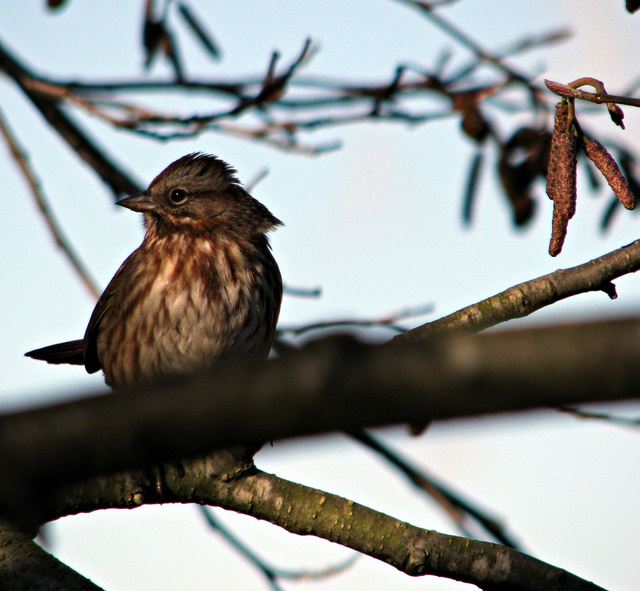
| An inquisitive Robin |
 |
| Great Blue Heron |
 |
| A great Blue Heron searching for food |
|
 |
| A not-too-shy solitary gull |
 |
| A pair of Canada geese |
 |
| Red-winged Blackbird |
 |
| Canada Goose |
 |
| Male and Female Mallard ducks |
 |
| A common Harrier in early Fall |
|
 |
| A common Harrier |
 |
| Nanaimo Skyline |
|
 |
| This is the unusually large Garry Oak tree that stands out among the grasses and other shrubs on the open meadows that lead into the estuary. |
|
 |
| Mt. Benson |
|
 |
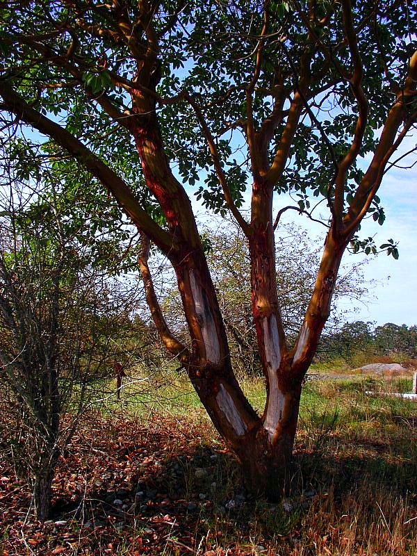
| Arbutus Tree |
Estuaries are places where rivers meet the sea. Therefore where salt and fresh water meet the salinity content changes and is dynamic as life flourishes. The Nanaimo River Estuary is the largest in Vancouver Island and the 5th largest in all of British Columbia. It was once considered the bread basket of the Snuneymuxw First Nation People. But decades of pollution due to log mills, log booms, shipping and other sources of pollution, marine life deteriorated to such extent that immediate solutions are being considered. The Nanaimo Estuary is located just south of the Nanaimo downtown area. It is bordered on the right by Duke Point and Biggs Park and on the left is the City of Nanaimo along the Nanaimo Harbour. B.C. estuaries are crucial and productive breeding and feeding habitat for invertebrates, fish, marine birds and mammals due to the mixture of freshwater, sea water and light. Its protection is sorely needed as soon as possible.According to several scientific studies, saltwater marsh and eelgrass that thrive along the estuaries can store several tonnes of carbon annually. As an example, 400 square kms. of eelgrass and salt water marsh can store as much as all of B.C. boreal forest. According to Colin Campbell, science advisor for Sierra Club of BC, the Nanaimo Estuary is ranked in the top seven of 442 BC estuaries for effective sea burial of carbon because of its high concentration of eelgrass and salt marshes. They bury carbon for thousands of years where nothing happens. It gets locked down until it gets uncovered. This is probably the most efficient carbon removal mechanism on earth and the Nanaimo Estuary is right up there because of its size and its salt marshes. In comparison, forests, also considered important carbons eradicator/ remover sink, bury carbon for hundreds of years. Campbell's report indicates estuaries can be up to 90x more efficient than the equivalent area of forest, but are disappearing far faster than forests. In B.C., estuary habitats sequester a minimum of 180,000 tonnes of carbon annually, equivalent to the emissions of 200,000 passenger cars. Eelgrass absorbs carbon from water while salt marshes absorb it from the atmosphere.Controlling the log booms and log mills and diverting run-off of fertilizers, pesticides and herbicides is crucial for saving the eelgrass and salt marshes. It's in everybody's best interest to insure it remains healthy and sustains the incredible biodiversity that is there.Despite its name and appearance, eelgrass ( Zostera Marina ) is neither a seaweed ( marine algae ) nor a grass. It is a perrennial flowering plant that lives in salt water and has dark green, ribbon-like leaves that are 2 - 12mm wide and between 20 and 100 cm. long. The dense meadows or beds are sometimes exposed to low tide. Eelgrass forms the basis of a complex food web in estuaries and other sheltered marine areas. It grows at and below the low tide line, in up to 6 meter of water. It is common in estuaries, tidal flats and protected areas such as pocket beaches. Like all plants, eelgrass relies on photosynthesis, the use of sunlight to convert carbon dioxide and water to sugars. Therefore, it requires relatively clear and clean water. Murky or turbid water prevents the plants from receiving enough light. It is worth noting that the Nanaimo River Estuary is an underrated area for bird-watching. There are actually numerous sightings of various bird species around this area which is attracting quite a few numbers of birdwatchers from across the province and from out of town. I am not an expert on birds but I enjoy photographing them and share my photos to be enjoyed by all.